Rock Creek Phase III Restoration Design
Rock Creek, a tributary to the upper Grande Ronde River in northeastern Oregon, is a cold-water tributary downstream of Hilgard that contains critical habitat for steelhead and Chinook salmon. Through historical land use practices, the stream had become straightened and disconnected from its historical floodplain. This increased stream energy and removal of adjacent riparian vegetation produced an incised channel with little habitat variability.
Top: Depths at the 1.5-year flow under existing conditions. Note the lack of pools and the disconnected floodplain. Bottom: Depths at the 1.5-year flow under proposed conditions. Note the increased floodplain inundation and depth variability.
In collaboration with the Confederated Tribes of the Umatilla Indian Reservation (CTUIR), Rio ASE completed an enhancement design of over 1 mile of lower Rock Creek. Project goals were focused around reconnecting the floodplain and increasing habitat complexity through channel realignment, alcove and side channel development, placement of large woody habitat structures, and ultimately developing a robust riparian plant community. The CTUIR had obtained an easement through the riparian corridor prior to this work, and continued collaboration with the landowner allowed for the design to reclaim the entire valley width.
Rio ASE participated in the project as the lead design engineer and worked directly with CTUIR through design iterations. We developed electronic data, then provided it to CTUIR, who created the production drawing set. The goals of the channel design and floodplain grading included improving in-stream and off-channel habitat by restoring appropriate channel form/geometry and improving natural channel processes. Our lead engineer ultimately performed stability calculations for wood structures and reviewed and stamped the final construction design plans. This project created 36 large pools, 4,300 feet of new channel, 462 feet of new side channel, installed over 1,500 large wood pieces, and removed over 1,800 feet of roads and levees for steelhead and Chinook salmon utilization.
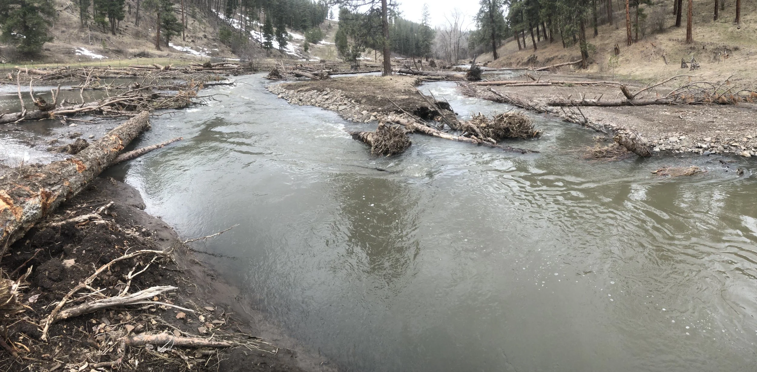
Post-construction photo looking downstream after an approximately 10- to 20-year flood, less than one year after construction.


